Watershed Management
Roots for Reefs strengthens coastal and coral reef resilience by combining watershed research, land-based restoration, and community partnerships. Through nature-based solutions—like planting native vegetation and managing runoff—we reduce land-based pollution, protect nearshore reefs, and help local communities adapt to climate-related challenges.


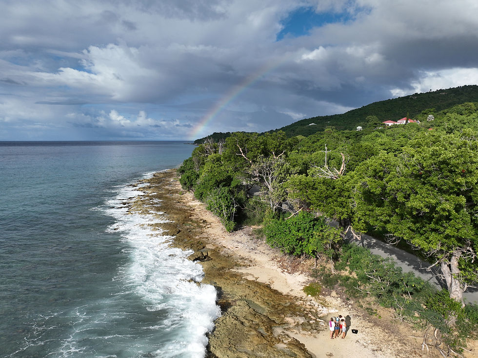
Watershed Study
We are conducting a formal watershed study to identify priority areas for land-based restoration that will improve water quality on the reef. By analyzing how water flows from land to sea, we can pinpoint sources of pollution—such as sediment, nutrients, and contaminants—that harm coral health. This study will guide targeted restoration efforts, like reforestation, erosion control, and stormwater management, to reduce runoff and improve the clarity and quality of nearshore waters. Cleaner water means less stress on corals, better conditions for growth, and a stronger, more resilient reef ecosystem overall.
Neighborhood-Scale Restoration
In partnership with the Feather Leaf Inn, we’re implementing neighborhood-scale restoration using nature-based solutions. Together, we’re restoring coastal habitats by planting native vegetation, reducing erosion, and managing runoff before it reaches the reef. This collaborative effort not only improves nearshore water quality but also demonstrates how landowners can play a key role in protecting coral ecosystems through sustainable, land-based practices.

Community Resilience
We’re using insights from our watershed study and neighborhood-scale projects to strengthen community resilience to climate hazards. By improving land management and restoring natural buffers, we help coastal communities better withstand flooding, erosion, and storm impacts. These nature-based solutions protect both people and reefs, creating a more sustainable and climate-resilient future.
This report summarizes the general features of the Butler Bay/Creque Dam Watershed to inform preliminary watershed assessment and planning activities by the Horsley Witten Group (HW), Ceiba Strategies, Feather Leaf Inn, and the VI Department of Planning and Natural Resources (DPNR). This summary serves as a consolidated compilation of relevant mapping layers, hydrologic data, landcover, demographics, soils, infrastructure improvements, potential sources of pollution, and other readily available watershed information. This information will be used to identify remaining data gaps, identify locations for further field investigations, and generate input data for watershed modeling.